THE PEOPLE BEHIND THE VIEWS
Real places.
Real photographs.
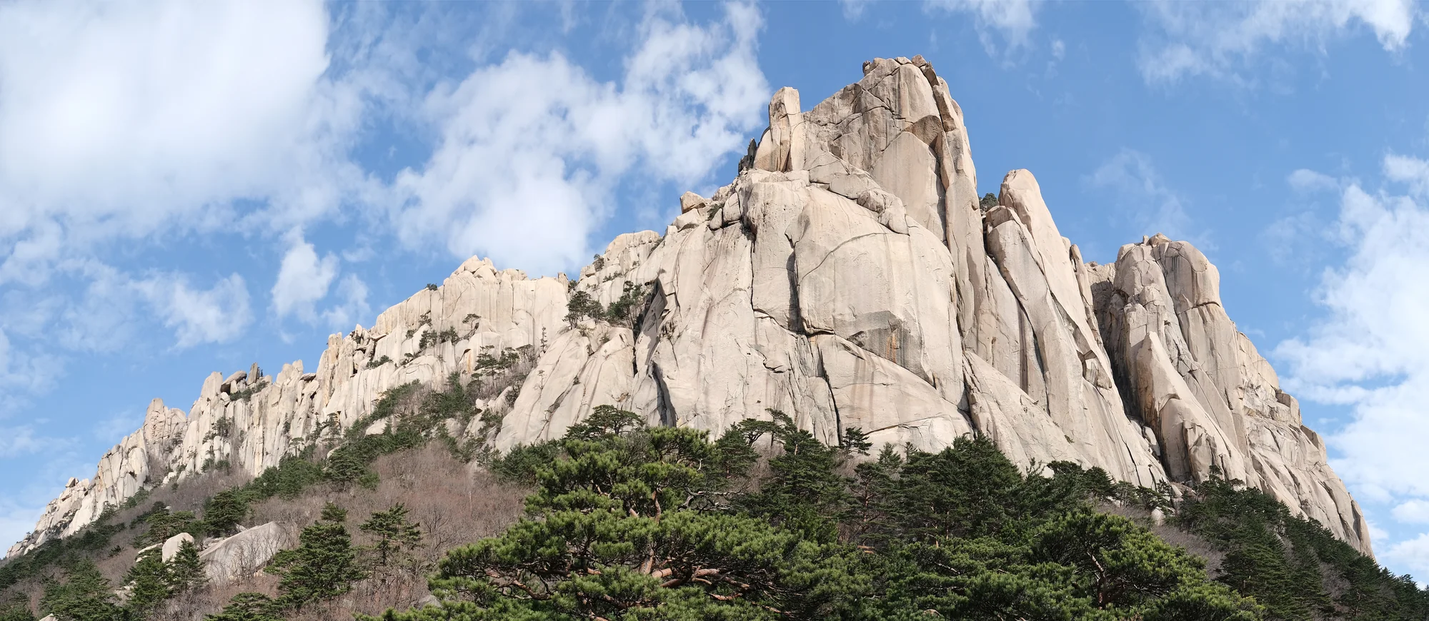
Ulsanbawi, Seoraksan National Park. Landscape context; not the Biryong Falls route.
Photograph: kallerna
Original source ↗ · CC BY-SA 4.0
Photographed 28 November 2022
Resized and re-encoded to WebP. Source frame and colors preserved; no generative edits or retouching. Responsive page frames may crop the displayed view.
Display crops may vary by screen size. Linked licence terms apply to the photograph.

Bukhansan and Baegundae. A landscape view, not a route map.
Photograph: Olga Lipunova
Original source ↗ · CC BY-SA 3.0
Photographed 10 May 2006
Resized and re-encoded to WebP. Source frame and colors preserved; no generative edits or retouching. Responsive page frames may crop the displayed view.
Display crops may vary by screen size. Linked licence terms apply to the photograph.
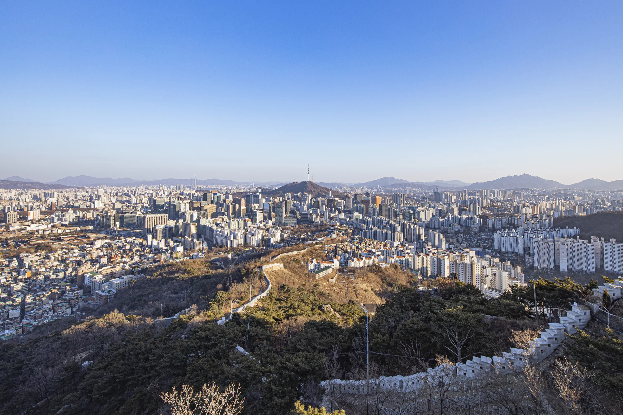
Seoul City Wall and downtown Seoul, viewed from Inwangsan.
Photograph: Seoul Tourism Organization / Seoul Tourism Archive
Original source ↗ · KOGL Type 1
Photographed 19 February 2023
Resized and re-encoded to WebP. Source frame and colors preserved; no generative edits or retouching. Responsive page frames may crop the displayed view.
Display crops may vary by screen size. Linked licence terms apply to the photograph.
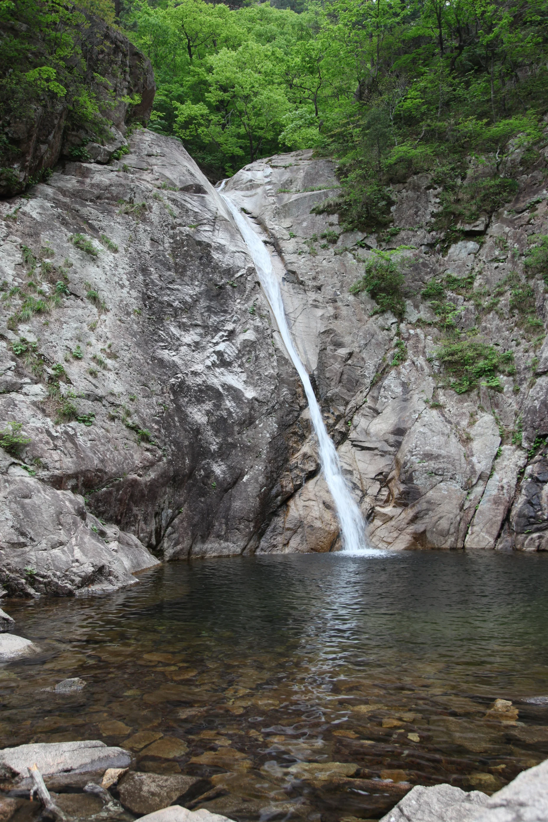
Biryong Falls, Seoraksan National Park.
Photograph: Olga Lipunova
Original source ↗ · CC BY-SA 3.0
Photographed 18 May 2013
Resized and re-encoded to WebP. Source frame and colors preserved; no generative edits or retouching. Responsive page frames may crop the displayed view.
Display crops may vary by screen size. Linked licence terms apply to the photograph.
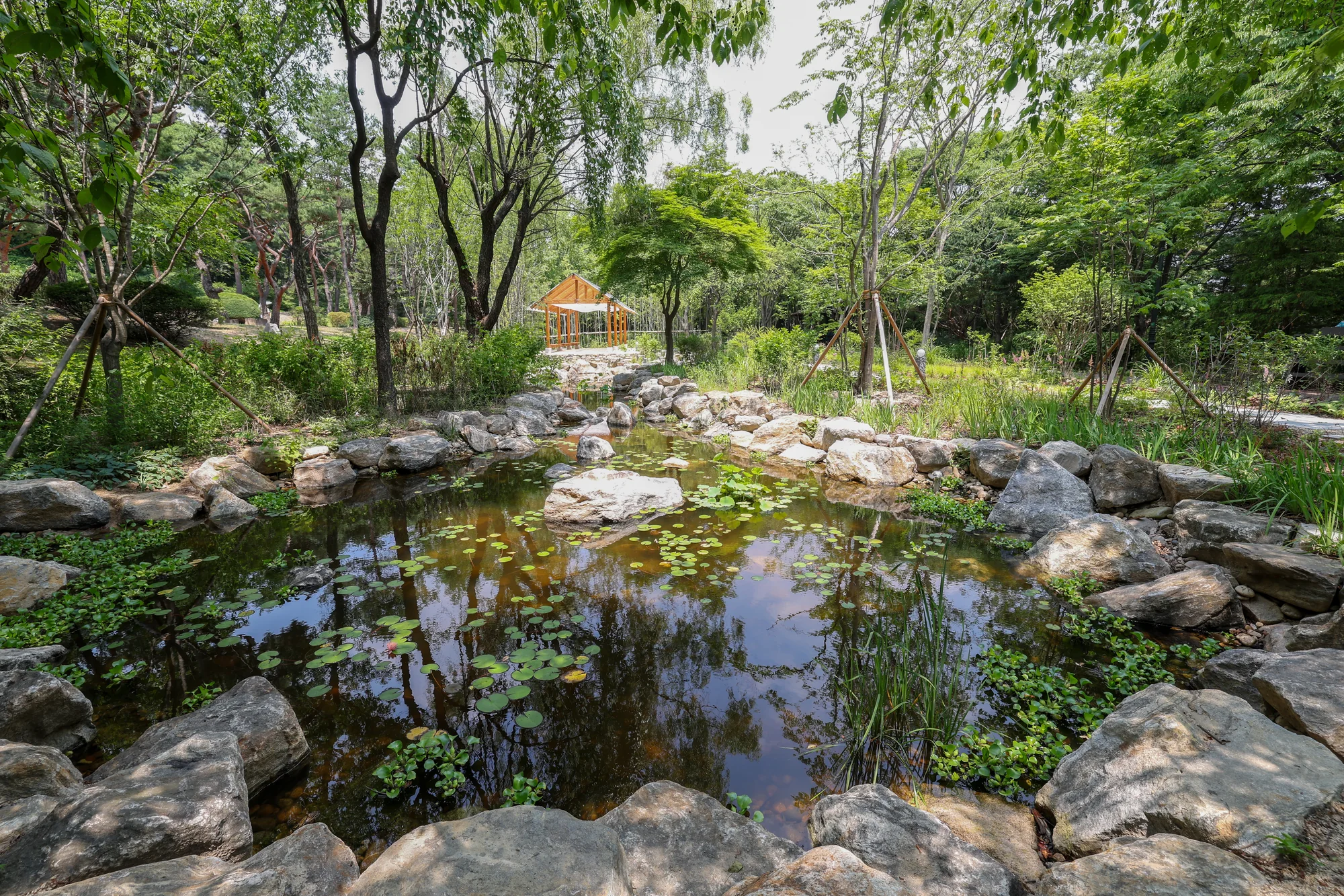
Korean Forest Garden on Namsan’s southern slope. Park context, not the north-side circuit.
Photograph: Republic of Korea / Korea.net / Korean Culture and Information Service
Original source ↗ · CC BY-SA 4.0
Photographed 29 June 2026
Resized and re-encoded to WebP. Source frame and colors preserved; no generative edits or retouching. Responsive page frames may crop the displayed view.
Display crops may vary by screen size. Linked licence terms apply to the photograph.
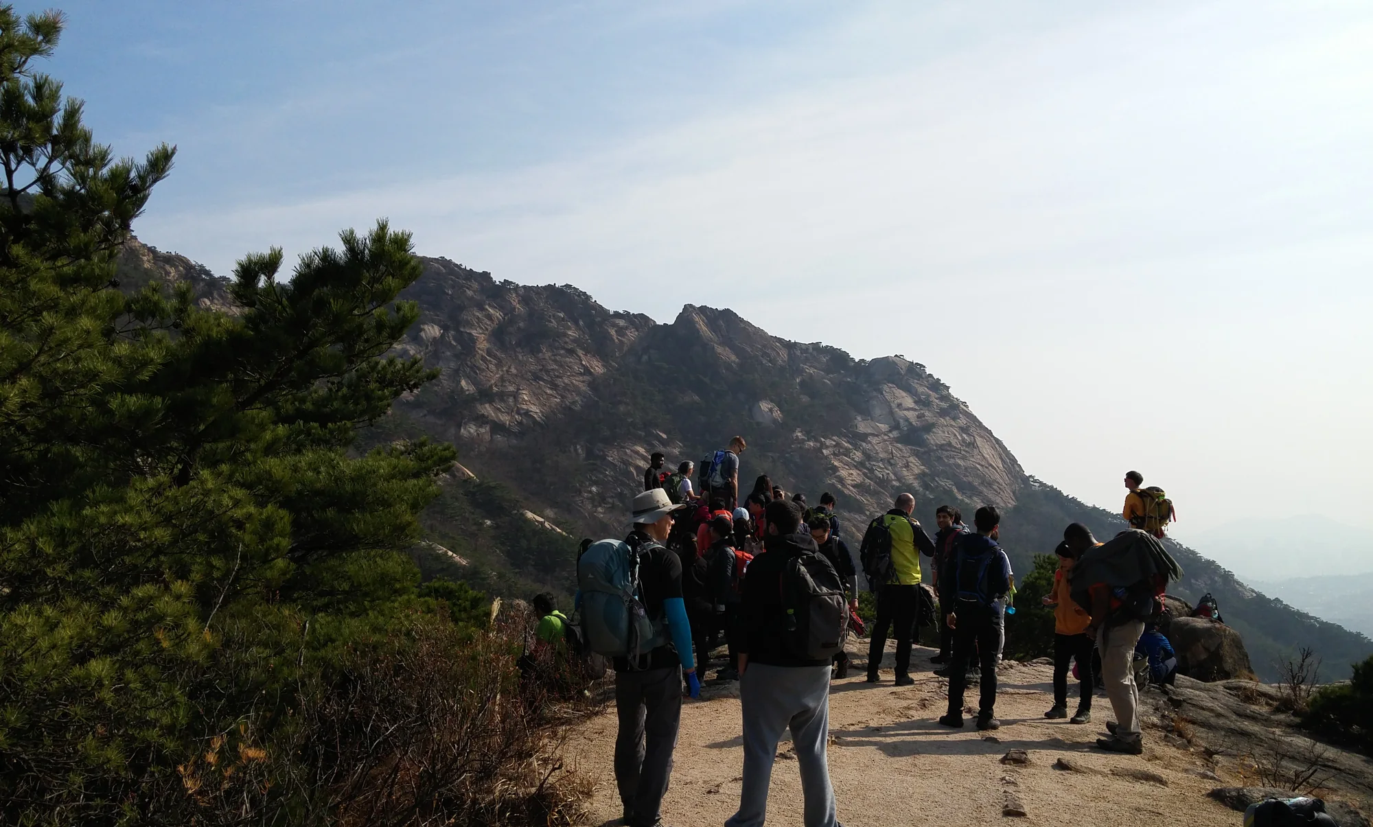
Hikers in Bukhansan National Park. The photograph does not identify the published Baegundae route.
Photograph: Christian Bolz
Original source ↗ · CC BY-SA 4.0
Photographed 21 November 2015
Resized and re-encoded to WebP. Source frame and colors preserved; no generative edits or retouching. Responsive page frames may crop the displayed view.
Display crops may vary by screen size. Linked licence terms apply to the photograph.
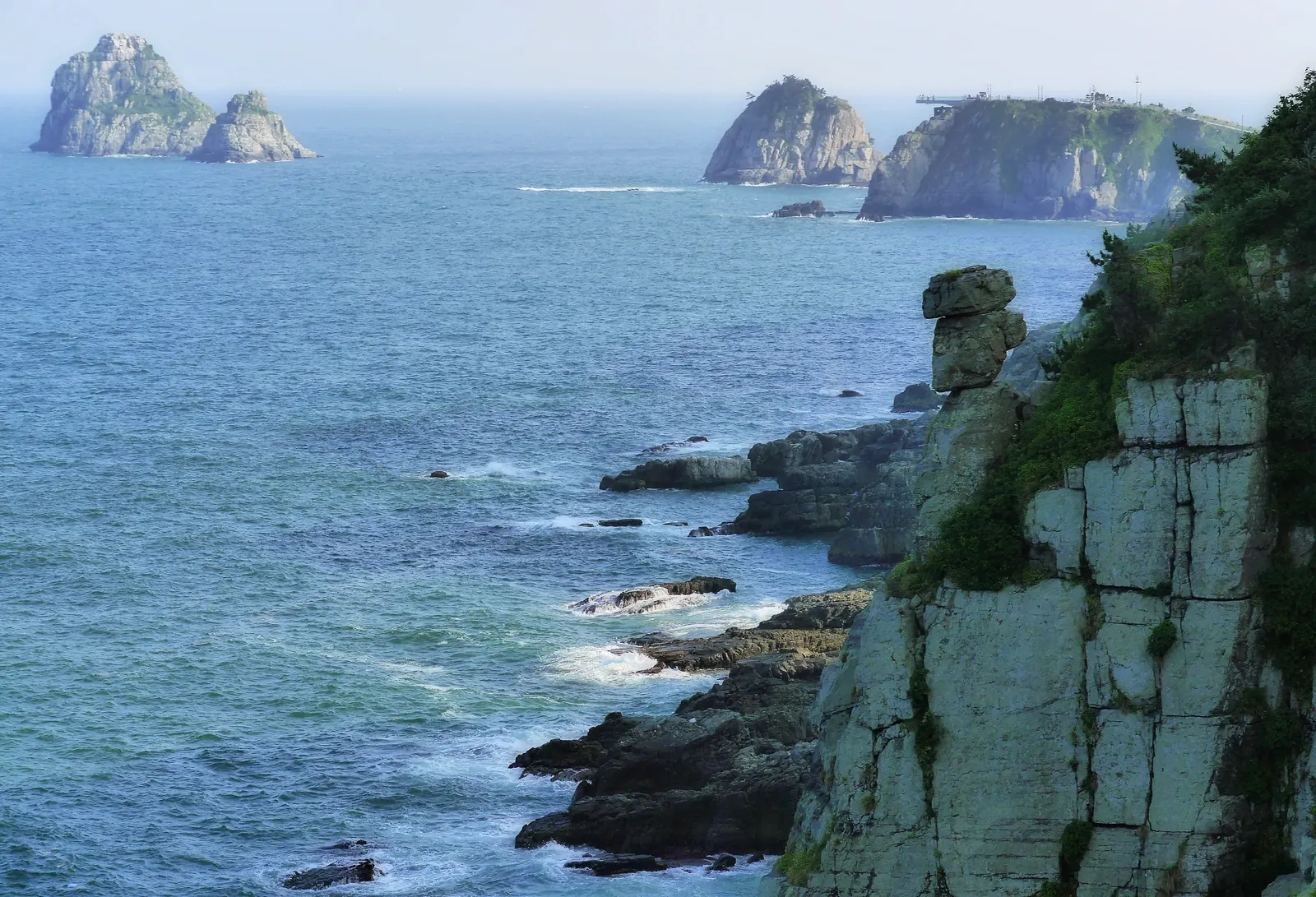
Igidae’s rocky coastline, with the Oryukdo islets in the distance.
Photograph: travel oriented
Original source ↗ · CC BY-SA 2.0
Photographed 4 July 2014
The Commons source records prior lighting and cropping edits. Resized and re-encoded to WebP; source frame and colors preserved. No additional cropping, retouching or generative edits.
Display crops may vary by screen size. Linked licence terms apply to the photograph.
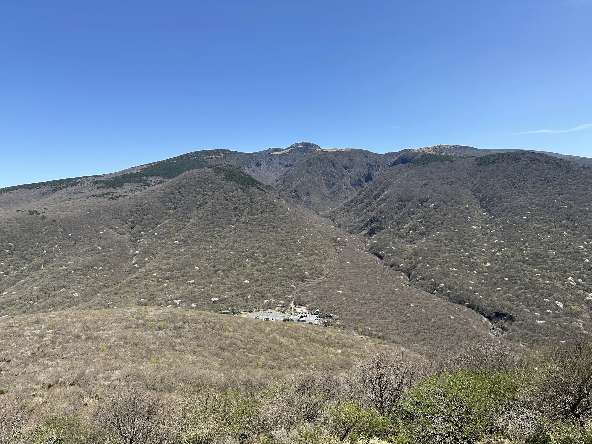
The view east from Eoseungsaengak summit, Jeju. The mountains in the distance are not the endpoint of this trail.
Photograph: Grapesurgeon
Original source ↗ · CC BY-SA 4.0
Photographed 16 April 2026
Resized and re-encoded to WebP. Source frame and colors preserved; no generative edits or retouching. Responsive page frames may crop the displayed view.
Display crops may vary by screen size. Linked licence terms apply to the photograph.


