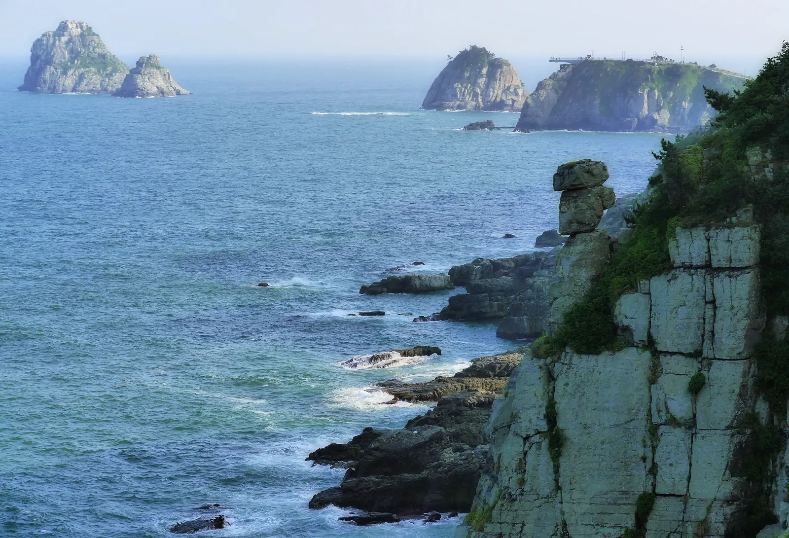
Walk from Dongsaengmal toward Oryukdo, with wooded slopes on one side and Busan’s rocky shore on the other. Across the water, the skyline becomes part of the view.
The walk, at a glance.
OFFICIAL DISTANCE4.7km
4.7 km · point to point
PUBLISHED TIME2 hr 30 min · official trail estimate
Point to point
From Dongsaengmal
To Oryukdo waterfront
What the terrain asks of you.
- Coastal path
- Wooded slopes
- Steps
- Clifftop viewpoints
Along the way.
- 01
Dongsaengmal
Begin the coastal crossing here.
- 02
Igidae coast
Follow signed paths along the shore and wooded slopes.
- 03
Oryukdo waterfront
Finish near the islets and connect with your onward transport.
Getting to the start.
- For the Igidae side, Visit Busan lists an approach via Kyungsung University–Pukyong National University Station on Metro Line 2 and local bus Nam-gu 2 toward Bunpo High School.
- Confirm the connection to Dongsaengmal and your return bus from the Oryukdo end. The trail is not a loop.
Before you set off.
- Check Visit Busan, local access notices and the forecast before walking.
- Coastal steps and exposed sections need suitable footwear and conditions.
- The Skywalk is a separate attraction with its own access rules; a trail plan does not guarantee entry.
These are planning notes, not a live opening report. Check the managing authority, weather and return transport immediately before your walk. Source review: 27 October 2026.